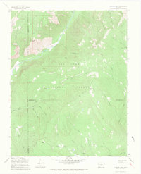
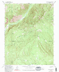
1964 Map of Granite Peak
USGS Topo · Published 1968About this map
Tuckerville sits near the northern boundary of this high-elevation terrain within the San Juan National Forest, where the transition from alpine peaks to deep river valleys defined the early resource economy. The landscape is marked by the presence of a Mine and various Prospects, signaling the mining interests that once permeated these mountains. The Los Pinos River carves a central path through the quadrangle, flanked by prominent features such as Runlett Peak and The Notch. A specialized network of transportation is evident in the multiple livestock-related paths, including the Pine-Piedra Stock Driveway and a Stock Driveway, which facilitated the seasonal movement of herds across the rugged forest interior. To the south, numerous drainage systems like Trout Creek and Clear Creek feed into the regional watershed, while isolated outposts like Granite Peak Ranch represent the sparse but persistent human footprint in this wilderness area.
Find a feature on this map
44 named features on this map. Tap any name to fly to it.
Don’t see what you’re looking for? This feature index may not catch every label — zoom into the map to look around manually.
Map Details
Editions of this 1964 Granite Peak Map
5 editions found
Other maps of this area

1900 · Needle Mountains
USGS Topo · 1:62,500

1902 · Needle Mountains
USGS Topo · 1:62,500

1905 · San Cristobal
USGS Topo · 1:125,000

1907 · San Cristobal
USGS Topo · 1:125,000

1908 · Ignacio
USGS Topo · 1:125,000

1924 · Ignacio
USGS Topo · 1:125,000

1924 · Pagosa Springs
USGS Topo · 1:125,000

1927 · Pagosa Springs
USGS Topo · 1:125,000

1945 · Durango
USGS Topo · 1:250,000

1953 · Durango
USGS Topo · 1:250,000