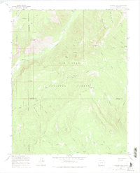
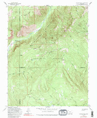
1964 Map of Granite Peak
USGS Topo · Published 1975About this map
San Juan National Forest defines the character of this high-country survey, where the Los Pinos River carves a path through the peaks of the San Juan Mountains. The settlement of Tuckerville and the nearby Granite Peak Ranch serve as small human outposts in a landscape dominated by soaring elevations like Graham Peak and Three Sisters Peaks. The presence of a Mine and various Prospects near Runlett Peak indicates a history of mineral exploration typical of the mid-20th-century West.
Find a feature on this map
40 named features on this map. Tap any name to fly to it.
Don’t see what you’re looking for? This feature index may not catch every label — zoom into the map to look around manually.
Map Details
Editions of this 1964 Granite Peak Map
5 editions found
Other maps of this area

1900 · Needle Mountains
USGS Topo · 1:62,500

1902 · Needle Mountains
USGS Topo · 1:62,500

1905 · San Cristobal
USGS Topo · 1:125,000

1907 · San Cristobal
USGS Topo · 1:125,000

1908 · Ignacio
USGS Topo · 1:125,000

1924 · Ignacio
USGS Topo · 1:125,000

1924 · Pagosa Springs
USGS Topo · 1:125,000

1927 · Pagosa Springs
USGS Topo · 1:125,000

1945 · Durango
USGS Topo · 1:250,000

1953 · Durango
USGS Topo · 1:250,000