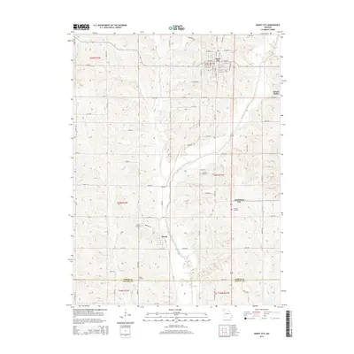
2014 Map of Grant City
USGS Topo · Published 2014About this map
Grant City serves as the focal point of this northern Missouri landscape, situated just north of the Worth County and Gentry County line. The terrain is defined by the winding course of the Middle Fork Grand River, which is fed by numerous tributaries including Marlowe Creek, Bear Creek, and Jay Creek. The map documents a predominantly rural agricultural layout, where a dense grid of section roads like Mo-W and YY Road connects small communities and family burial grounds. Notable among these are Smithton Cemetery, Fairview Cemetery, and Barnes Cemetery, which provide significant points of reference for genealogists. The settlement of Worth and the uniquely named Prohibition City illustrate the distribution of small population centers across the rolling hills of the t65n r31w and t65n r32w townships. Local landmarks such as Mount Waller stand out in an area where the water-carved landscape of Peddler Creek and Wharton Branch dictates the placement of early routes.
Find a feature on this map
89 named features on this map. Tap any name to fly to it.
Don’t see what you’re looking for? This feature index may not catch every label — zoom into the map to look around manually.
Map Details
Editions of this 2014 Grant City Map
This is the sole edition of this map. No revisions or reprints were ever made.
Other maps of this area

1940 · Blockton
USGS Topo · 1:62,500

1940 · Bedford
USGS Topo · 1:62,500

1940 · Parnell
USGS Topo · 1:62,500

1942 · Grant City
USGS Topo · 1:62,500

1943 · Bedford
USGS Topo · 1:62,500

1943 · Parnell
USGS Topo · 1:62,500

1943 · Grant City
USGS Topo · 1:62,500

1943 · Blockton
USGS Topo · 1:62,500

1955 · Nebraska City
USGS Topo · 1:250,000

1957 · Nebraska City
USGS Topo · 1:250,000