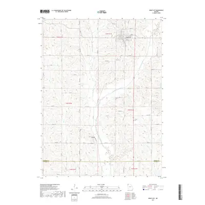
2017 Map of Grant City
USGS Topo · Published 2017About this map
Grant City serves as the primary municipal hub in this northern Missouri landscape, situated where several local highways converge among the dissected plateaus of the Middle Fork Grand River drainage. The town layout is characterized by a traditional grid including E 2nd St, W 4th St, and S Main St. To the south, the smaller settlement of Worth is positioned near the river, connected by State Hwy Z and local routes like Ross Ave.
Find a feature on this map
89 named features on this map. Tap any name to fly to it.
Don’t see what you’re looking for? This feature index may not catch every label — zoom into the map to look around manually.
Map Details
Editions of this 2017 Grant City Map
This is the sole edition of this map. No revisions or reprints were ever made.
Other maps of this area
1940 · Blockton
USGS Topo · 1:62,500
1940 · Bedford
USGS Topo · 1:62,500
1940 · Parnell
USGS Topo · 1:62,500
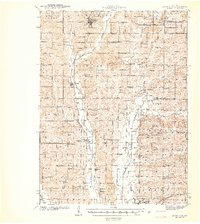
1942 · Grant City
USGS Topo · 1:62,500
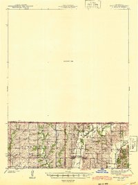
1943 · Bedford
USGS Topo · 1:62,500
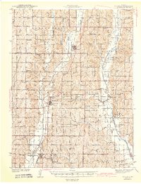
1943 · Parnell
USGS Topo · 1:62,500
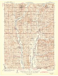
1943 · Grant City
USGS Topo · 1:62,500
1943 · Blockton
USGS Topo · 1:62,500
1955 · Nebraska City
USGS Topo · 1:250,000
1957 · Nebraska City
USGS Topo · 1:250,000