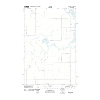
2010 Map of Grant Lake
USGS Topo · Published 2010About this map
The Mississippi River winds through this northern landscape, joined by its namesake tributary, the Little Mississippi River. This 2010 survey highlights a complex network of glacial water bodies and wetlands in Beltrami County, where the river's path is defined by significant wetlands like Rice Lake. The map reveals how the modern road system, including County Hwy-14 and Becida Rd SW, navigates the interspersed water systems of Grant Lake, Bootleg Lake, and the smaller Little Boot Lake. A notable hydrologic feature is Hennepin Creek, which flows south toward Diamond Lake, illustrating the drainage patterns that characterize this portion of the headwaters region. The alignment of roads like Beltrami Line Rd and Division St W reflects the rural section-line development typical of the Minnesota northwoods.
Find a feature on this map
40 named features on this map. Tap any name to fly to it.
Don’t see what you’re looking for? This feature index may not catch every label — zoom into the map to look around manually.
Map Details
Editions of this 2010 Grant Lake Map
This is the sole edition of this map. No revisions or reprints were ever made.
Other maps of this area

1919 · Solway
USGS Topo · 1:62,500

1920 · Buena Vista
USGS Topo · 1:62,500

1943 · Solway
USGS Topo · 1:62,500

1954 · Bemidji
USGS Topo · 1:250,000

1957 · Bemidji
USGS Topo · 1:250,000

1958 · Bemidji
USGS Topo · 1:250,000

1968 · Frontenac Lake
USGS Topo · 1:24,000

1968 · Bemidji West
USGS Topo · 1:24,000

1972 · Alida
USGS Topo · 1:24,000

1972 · Peterson Lake
USGS Topo · 1:24,000