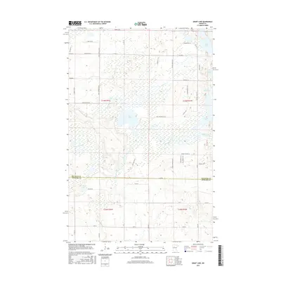
2016 Map of Grant Lake
USGS Topo · Published 2016About this map
The upper reaches of the Mississippi River and the Little Mississippi River converge in this northern Minnesota landscape, creating a complex network of wetlands and glacial lakes. The terrain is defined by its water bodies, from the prominent Grant Lake in the northeast corner to the centrally located Rice Lake. The area's drainage is further shaped by Hennepin Cr and Smith Lake, with the surrounding land crisscrossed by a grid of county and township roads such as Co HWY 16 and N Line Rd. This survey also documents the jurisdictional boundary where Beltrami Co meets Hubbard Co, illustrating how the straight lines of political geography bisect the meandering natural paths of the river system. The presence of smaller features like Bootleg Lake and Little Boot Lake underscores the dense concentration of freshwater resources that have historically influenced settlement and land use in this part of the state.
Find a feature on this map
30 named features on this map. Tap any name to fly to it.
Don’t see what you’re looking for? This feature index may not catch every label — zoom into the map to look around manually.
Map Details
Editions of this 2016 Grant Lake Map
This is the sole edition of this map. No revisions or reprints were ever made.
Other maps of this area
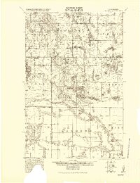
1919 · Solway
USGS Topo · 1:62,500
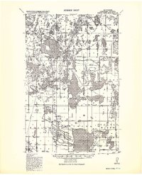
1920 · Buena Vista
USGS Topo · 1:62,500
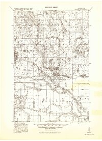
1943 · Solway
USGS Topo · 1:62,500
1954 · Bemidji
USGS Topo · 1:250,000
1957 · Bemidji
USGS Topo · 1:250,000
1958 · Bemidji
USGS Topo · 1:250,000
1968 · Frontenac Lake
USGS Topo · 1:24,000
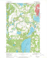
1968 · Bemidji West
USGS Topo · 1:24,000
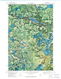
1972 · Alida
USGS Topo · 1:24,000
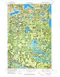
1972 · Peterson Lake
USGS Topo · 1:24,000