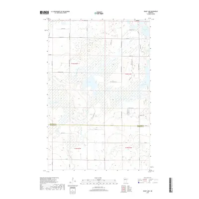
2019 Map of Grant Lake
USGS Topo · Published 2019About this map
Wilton anchors the northern edge of this landscape, situated just south of the intersection where modern rural routes begin to weave through the marshy lowlands of the upper Mississippi River basin. The area is defined by its complex hydrology, where the Little Mississippi River and Hennepin Cr flow through a dense network of wetlands and small lakes. The transition between Beltrami Co and Hubbard Co is marked by a straight east-west survey line, cutting through a mosaic of timber and water bodies like Rice Lake and Smith Lake. This 2019 survey illustrates the persistent rural character of the region, where residential development is largely concentrated along corridors such as Balsam Ridge Rd NW and Country View Dr SW, while the interior remains dominated by the sprawling headwaters of the nation's most significant river system.
Find a feature on this map
55 named features on this map. Tap any name to fly to it.
Don’t see what you’re looking for? This feature index may not catch every label — zoom into the map to look around manually.
Map Details
Editions of this 2019 Grant Lake Map
This is the sole edition of this map. No revisions or reprints were ever made.
Other maps of this area

1919 · Solway
USGS Topo · 1:62,500

1920 · Buena Vista
USGS Topo · 1:62,500

1943 · Solway
USGS Topo · 1:62,500

1954 · Bemidji
USGS Topo · 1:250,000

1957 · Bemidji
USGS Topo · 1:250,000

1958 · Bemidji
USGS Topo · 1:250,000

1968 · Frontenac Lake
USGS Topo · 1:24,000

1968 · Bemidji West
USGS Topo · 1:24,000

1972 · Alida
USGS Topo · 1:24,000

1972 · Peterson Lake
USGS Topo · 1:24,000