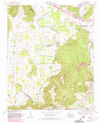
1947 Map of Grant
USGS Topo · Published 1982About this map
Paint Rock River winds through the northern reaches of Marshall County, Alabama, defining a landscape of narrow valleys and high ridges. The area around Grant and the small settlement of Bucksnort is characterized by a dense network of family-named landmarks and rural institutions that reflect the agricultural and community life of the mid-20th century. Numerous crossings such as Hellum Ford, Maple Ford, and Stapler Ford indicate a time when river navigation and local transit relied on natural landscape features. Small country congregations like Hill Chapel and Center Ch served as anchors for the surrounding farmsteads. The terrain is marked by prominent elevations like Keel Mountain and Gunters Mountain, while industrial history is represented by the Butler Mill and the Southern railroad line skirting the northern boundary.
Find a feature on this map
82 named features on this map. Tap any name to fly to it.
Don’t see what you’re looking for? This feature index may not catch every label — zoom into the map to look around manually.
Map Details
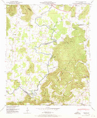
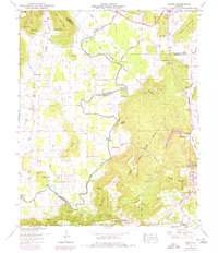
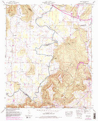
Editions of this 1947 Grant Map
4 editions found
Other maps of this area

1885 · Gadsden
USGS Topo · 1:125,000

1888 · Gadsden
USGS Topo · 1:125,000

1888 · Scottsboro
USGS Topo · 1:125,000

1892 · Scottsboro
USGS Topo · 1:125,000

1892 · Gadsden
USGS Topo · 1:125,000

1895 · Gadsden
USGS Topo · 1:125,000

1903 · Gadsden
USGS Topo · 1:125,000

1936 · Columbus City
USGS Topo · 1:24,000

1936 · New Hope
USGS Topo · 1:24,000

1936 · Guntersville Dam
USGS Topo · 1:24,000