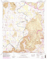
1947 Map of Grant
USGS Topo · Published 1982About this map
Gunters Mountain and the surrounding river bottomlands define the geography of this northern Alabama landscape, where the Paint Rock River winds between steep ridges and wide agricultural basins. The map illustrates a rural society organized around family-named points and natural crossings, with several fords including Hellum Ford, Maple Ford, and Fishtrap Ford providing transit across the river's path. Settlements like Grant and Poplar Ridge are anchored by local institutions such as Bethel Ch and Rockdale Ch. The presence of the Old Cherokee School Lands Road points to early land divisions and educational history in the region. Genealogists will find a wealth of family history in the many burial grounds scattered across the terrain, from Whittaker Cem and Humpton Cem in the valley to Kirkland Cem on the slopes of Grassy Mountain.
Find a feature on this map
73 named features on this map. Tap any name to fly to it.
Don’t see what you’re looking for? This feature index may not catch every label — zoom into the map to look around manually.
Map Details
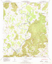
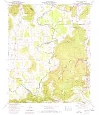
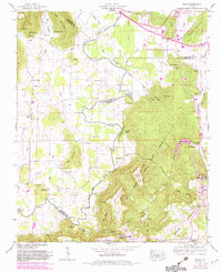
Editions of this 1947 Grant Map
4 editions found
Other maps of this area

1885 · Gadsden
USGS Topo · 1:125,000

1888 · Gadsden
USGS Topo · 1:125,000

1888 · Scottsboro
USGS Topo · 1:125,000

1892 · Scottsboro
USGS Topo · 1:125,000

1892 · Gadsden
USGS Topo · 1:125,000

1895 · Gadsden
USGS Topo · 1:125,000

1903 · Gadsden
USGS Topo · 1:125,000

1936 · Columbus City
USGS Topo · 1:24,000

1936 · New Hope
USGS Topo · 1:24,000

1936 · Guntersville Dam
USGS Topo · 1:24,000