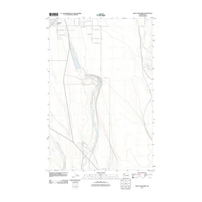
2011 Map of Grant Orchards
USGS Topo · Published 2011About this map
Grant Orchards and Lakeview Park anchor this high-desert agricultural landscape, where the irrigation-dependent geography of the Columbia Basin is clearly visible. The terrain is defined by the winding course of Rocky Ford Creek, which cuts through the central portion of the map, and the straight-line grid of rural access roads like Road 19 NE and Division Rd NW. This 2011 survey captures a moment when the region's historic dependence on water management for fruit production remained the primary driver of its settlement pattern. To the east, the more erratic path of Crab Creek and the presence of Willow Lake contrast with the rigid geometry of the surrounding orchard plots. For those tracing the evolution of Grant County's infrastructure, the map details numerous named thoroughfares, such as Drumheller Rd and Neppel Rd NE, which provide access to the various sections of this arid but productive landscape.
Find a feature on this map
28 named features on this map. Tap any name to fly to it.
Don’t see what you’re looking for? This feature index may not catch every label — zoom into the map to look around manually.
Map Details
Editions of this 2011 Grant Orchards Map
This is the sole edition of this map. No revisions or reprints were ever made.
Other maps of this area

1910 · Winchester
USGS Topo · 1:62,500

1912 · Moses Lake
USGS Topo · 1:62,500

1953 · Ritzville
USGS Topo · 1:250,000

1956 · Ephrata
USGS Topo · 1:62,500

1956 · Stratford
USGS Topo · 1:24,000

1956 · Ephrata
USGS Topo · 1:24,000

1956 · Grant Orchards
USGS Topo · 1:24,000

1956 · Moses Lake North
USGS Topo · 1:24,000

1956 · Gloyd
USGS Topo · 1:24,000

1956 · Winchester NE
USGS Topo · 1:24,000