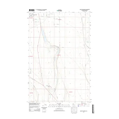
2014 Map of Grant Orchards
USGS Topo · Published 2014About this map
Grant Orchards and Lakeview Park anchor this 2014 survey of central Washington, where a structured grid of county roads meets the winding courses of Rocky Ford Creek and Crab Cr. The landscape is defined by the intersection of industrial infrastructure and water management, with the expansive Ephrata Municipal Airport situated on the western edge. A complex network of labeled transit corridors, such as Wa-28 and Wa-17, facilitates movement between the orchards and the local settlements. Notable local thoroughfares including Old Moses Lake Hwy, Drumheller Rd, and Trout Lodge Rd provide a detailed look at the rural property divisions and access points used in this agricultural region. The map captures the specialized layout of an area shaped by irrigation and organized orchard plots in the early 21st century.
Find a feature on this map
43 named features on this map. Tap any name to fly to it.
Don’t see what you’re looking for? This feature index may not catch every label — zoom into the map to look around manually.
Map Details
Editions of this 2014 Grant Orchards Map
This is the sole edition of this map. No revisions or reprints were ever made.
Other maps of this area
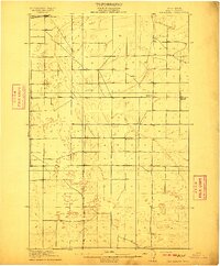
1910 · Winchester
USGS Topo · 1:62,500
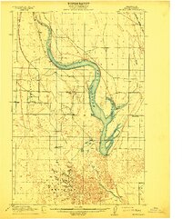
1912 · Moses Lake
USGS Topo · 1:62,500
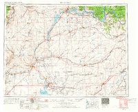
1953 · Ritzville
USGS Topo · 1:250,000
1956 · Ephrata
USGS Topo · 1:62,500
1956 · Stratford
USGS Topo · 1:24,000
1956 · Ephrata
USGS Topo · 1:24,000
1956 · Grant Orchards
USGS Topo · 1:24,000
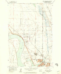
1956 · Moses Lake North
USGS Topo · 1:24,000
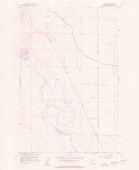
1956 · Gloyd
USGS Topo · 1:24,000
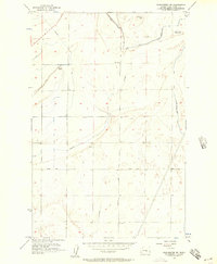
1956 · Winchester NE
USGS Topo · 1:24,000