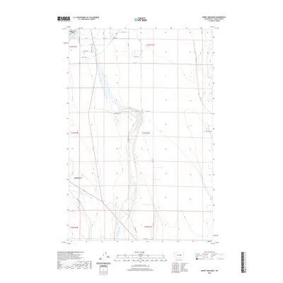
2020 Map of Grant Orchards
USGS Topo · Published 2020About this map
Ephrata anchors the southwestern portion of this landscape, where the urban grid meets the agricultural expansion of central Washington. The terrain is defined by the winding course of Rocky Ford Creek, which flows south toward the larger wetlands and irrigation networks characteristic of the region. To the north, the settlement of Grant Orchards and the community at Lakeview Park reflect a history of land development tied to the water resources of the Columbia Basin.
Find a feature on this map
25 named features on this map. Tap any name to fly to it.
Don’t see what you’re looking for? This feature index may not catch every label — zoom into the map to look around manually.
Map Details
Editions of this 2020 Grant Orchards Map
This is the sole edition of this map. No revisions or reprints were ever made.
Other maps of this area
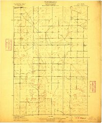
1910 · Winchester
USGS Topo · 1:62,500
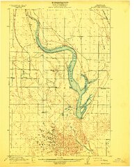
1912 · Moses Lake
USGS Topo · 1:62,500
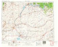
1953 · Ritzville
USGS Topo · 1:250,000
1956 · Ephrata
USGS Topo · 1:62,500
1956 · Stratford
USGS Topo · 1:24,000
1956 · Ephrata
USGS Topo · 1:24,000
1956 · Grant Orchards
USGS Topo · 1:24,000
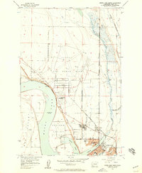
1956 · Moses Lake North
USGS Topo · 1:24,000
1956 · Gloyd
USGS Topo · 1:24,000
1956 · Winchester NE
USGS Topo · 1:24,000