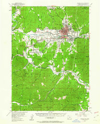
1954 Map of Grants Pass
USGS Topo · Published 1962About this map
The Rogue River and Applegate River valleys define this mid-century portrait of Josephine County, where the city of Grants Pass serves as the regional hub for transportation and industry. The Southern Pacific railroad line and the Merlin Grade facilitate movement through the foothills, connecting established communities like Wilderville and Murphy. The landscape is dotted with early educational and civic landmarks, including the Dimmick Sch and Jerome Prairie Sch, alongside quiet resting places such as the Dimmick Cem.
Find a feature on this map
90 named features on this map. Tap any name to fly to it.
Don’t see what you’re looking for? This feature index may not catch every label — zoom into the map to look around manually.
Map Details
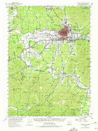
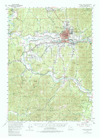
Editions of this 1954 Grants Pass Map
4 editions found

Other maps of this area

1904 · Riddle
USGS Topo · 1:125,000

1908 · Grants Pass
USGS Topo · 1:125,000

1917 · Kerby
USGS Topo · 1:125,000

1918 · Kerby
USGS Topo · 1:125,000

1945 · Kerby
USGS Topo · 1:125,000

1946 · Galice
USGS Topo · 1:62,500

1948 · Galice
USGS Topo · 1:62,500

1954 · Cave Junction
USGS Topo · 1:62,500

1954 · Oregon Caves
USGS Topo · 1:62,500

1954 · Glendale
USGS Topo · 1:62,500