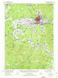
1954 Map of Grants Pass
USGS Topo · Published 1974About this map
The Rogue River dominates this mid-century landscape, carving a fertile valley through the Klamath Mountains near the hub of Grants Pass. The map reveals a post-war rural infrastructure of small schools such as Oak Grove Sch, Fort Vannoy Sch, and Wilderville Sch, alongside an irrigation network of unnamed canals and the Highline Canal. The industrial character of Josephine County is visible in the numerous gold and quartz mines tucked into the hills, including the Columbia Mine, Granite Hill Mine, and the Oregon Bonanza Mine. Transportation relies on the Southern Pacific railroad and the Merlin Grade, connecting timber and mining interests. Further south, the Applegate River flows through Murphy, while the Rogue River National Forest marks the higher elevations where peaks like Pennington Mtn and Mungers Butte overlook the surrounding gulches and creeks.
Find a feature on this map
68 named features on this map. Tap any name to fly to it.
Don’t see what you’re looking for? This feature index may not catch every label — zoom into the map to look around manually.
Map Details
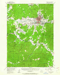
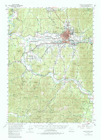
Editions of this 1954 Grants Pass Map
4 editions found

Other maps of this area

1904 · Riddle
USGS Topo · 1:125,000

1908 · Grants Pass
USGS Topo · 1:125,000

1917 · Kerby
USGS Topo · 1:125,000

1918 · Kerby
USGS Topo · 1:125,000

1945 · Kerby
USGS Topo · 1:125,000

1946 · Galice
USGS Topo · 1:62,500

1948 · Galice
USGS Topo · 1:62,500

1954 · Cave Junction
USGS Topo · 1:62,500

1954 · Oregon Caves
USGS Topo · 1:62,500

1954 · Glendale
USGS Topo · 1:62,500