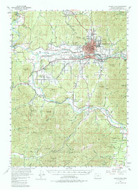
1954 Map of Grants Pass
USGS Topo · Published 1985About this map
Grants Pass serves as the focal point of this mid-century survey, situated at a critical juncture where the Southern Pacific railroad meets the Rogue River. The landscape is a complex network of agricultural valleys and timbered heights within the Siskiyou National Forest. Water management is central to the area's development, evidenced by the numerous gaging stations and the Fish Hatchery along the river.
Find a feature on this map
81 named features on this map. Tap any name to fly to it.
Don’t see what you’re looking for? This feature index may not catch every label — zoom into the map to look around manually.
Map Details
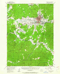
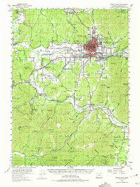
Editions of this 1954 Grants Pass Map
4 editions found

Other maps of this area

1904 · Riddle
USGS Topo · 1:125,000

1908 · Grants Pass
USGS Topo · 1:125,000

1917 · Kerby
USGS Topo · 1:125,000

1918 · Kerby
USGS Topo · 1:125,000

1945 · Kerby
USGS Topo · 1:125,000

1946 · Galice
USGS Topo · 1:62,500

1948 · Galice
USGS Topo · 1:62,500

1954 · Cave Junction
USGS Topo · 1:62,500

1954 · Oregon Caves
USGS Topo · 1:62,500

1954 · Glendale
USGS Topo · 1:62,500