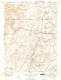
1949 Map of Grantsville
USGS Topo · Published 1949About this map
The Casselman River carves a deep valley through this corner of Garrett County, Maryland, and Somerset County, Pennsylvania, providing the central axis for the region's mid-century development. High points like Packhorse Mtn and Negro Mtn overlook a landscape defined by the historic transit corridor of the National Pike, which passes through Grantsville and Keysers Ridge. The map documents a rural society built on extraction and faith, where the No 1 Mine stands near the village of Jennings and localized community centers like Maple Grove Ch, Dunghill Ch, and the Yoder Sch served the surrounding family farms. Timber interests are evidenced by the expansive Savage River State Forest, while family-named landmarks such as Christner Hill and Maynardier Ridge Sch offer significant value for genealogists tracing local lineage in this Appalachian highland.
Find a feature on this map
65 named features on this map. Tap any name to fly to it.
Don’t see what you’re looking for? This feature index may not catch every label — zoom into the map to look around manually.
Map Details
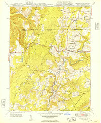
Editions of this 1949 Grantsville Map
2 editions found
Other maps of this area

1899 · Grantsville
USGS Topo · 1:62,500

1900 · Accident
USGS Topo · 1:62,500

1904 · Grantsville
USGS Topo · 1:62,500

1921 · Meyersdale
USGS Topo · 1:62,500

1922 · Confluence
USGS Topo · 1:62,500

1931 · Confluence
USGS Topo · 1:62,500

1933 · Confluence
USGS Topo · 1:62,500

1939 · Meyersdale
USGS Topo · 1:62,500

1944 · Meyersdale
USGS Topo · 1:62,500

1946 · Grantsville
USGS Topo · 1:24,000