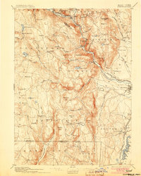
1895 Map of Granville
USGS Topo · Published 1905About this map
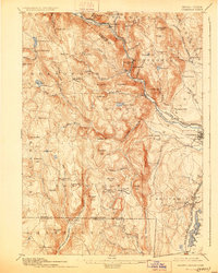
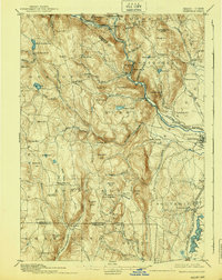
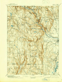
The West Branch of Westfield River carves a deep path through the Berkshires in this late nineteenth-century survey, defining the industrial and transit corridor for the Boston and Albany Railroad. The topography is marked by significant elevations like Sweetman Mtn. and Winchell Mtn., which loom over the split settlements of East Granville and West Granville. While the river valleys support the railroad and towns like Russell, the higher plateaus are dotted with numerous small water bodies including North Meadow Pond and Cochran Pond. The map reveals a landscape of dispersed agricultural hill towns and concentrated riverside industrial sites, notably at Salmon Falls. To the south, the Massachusetts Connecticut boundary line cuts across the valley of the East Branch Farmington River, illustrating the rugged interstate borderlands during a period of steady rail expansion.
Find a feature on this map
96 named features on this map. Tap any name to fly to it.
Don’t see what you’re looking for? This feature index may not catch every label — zoom into the map to look around manually.
Map Details
Editions of this 1895 Granville Map
8 editions found

Other maps of this area

1885 · Northampton
USGS Topo · 1:62,500

1886 · Springfield
USGS Topo · 1:62,500

1886 · Chesterfield
USGS Topo · 1:62,500

1886 · Northampton
USGS Topo · 1:62,500

1886 · Becket
USGS Topo · 1:62,500

1887 · Granville
USGS Topo · 1:62,500

1888 · Becket
USGS Topo · 1:62,500

1888 · Sandisfield
USGS Topo · 1:62,500

1888 · Chesterfield
USGS Topo · 1:62,500

1889 · Springfield
USGS Topo · 1:62,500