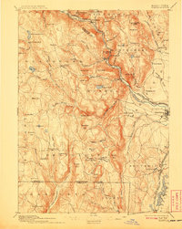
1895 Map of Granville
USGS Topo · Published 1908About this map
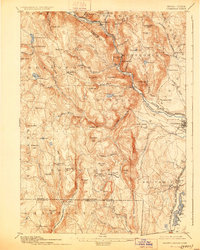
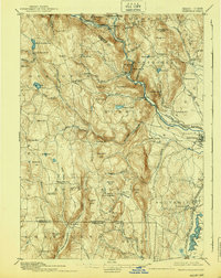
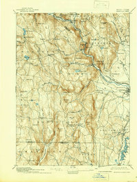
Blandford and the surrounding hill towns of the Berkshires foothills are documented here during a period of established agricultural and industrial life at the end of the 19th century. The Westfield River and the Westfield Little River carve deep valleys through the upland terrain, providing the water power that sustained settlements like Russell and Montgomery. The Boston and Albany Railroad follows the winding course of the river, serving as a vital transport artery for the region's timber and early manufacturing.
Find a feature on this map
95 named features on this map. Tap any name to fly to it.
Don’t see what you’re looking for? This feature index may not catch every label — zoom into the map to look around manually.
Map Details
Editions of this 1895 Granville Map
8 editions found

Other maps of this area

1885 · Northampton
USGS Topo · 1:62,500

1886 · Springfield
USGS Topo · 1:62,500

1886 · Chesterfield
USGS Topo · 1:62,500

1886 · Northampton
USGS Topo · 1:62,500

1886 · Becket
USGS Topo · 1:62,500

1887 · Granville
USGS Topo · 1:62,500

1888 · Becket
USGS Topo · 1:62,500

1888 · Sandisfield
USGS Topo · 1:62,500

1888 · Chesterfield
USGS Topo · 1:62,500

1889 · Springfield
USGS Topo · 1:62,500