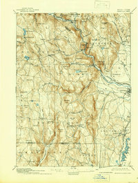
1895 Map of Granville
USGS Topo · Published 1939About this map
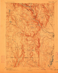
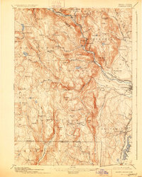
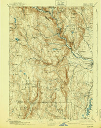
Blandford and its surrounding hamlets occupy the high ground of the Berkshires during this late-nineteenth-century survey of the Massachusetts-Connecticut border. The landscape is defined by its deep river valleys and the transportation corridors that follow them, most notably the Boston and Albany Railroad tracing the West Branch of Westfield River through Huntington and Russell. To the south, the New York New Haven and Hartford R. R. Northampton Div. skirts the Congamond Ponds, serving the agrarian community of Southwick. Local industry and resource extraction are evident in place names like Ore Hill near West Granville, while the numerous peaks such as Cobble Mtn. and Mt. Shatterack illustrate the challenging topography. The settlement pattern shows a network of small villages like East Granville and Sodom connected by mountain roads before modern highway development reshaped the region.
Find a feature on this map
99 named features on this map. Tap any name to fly to it.
Don’t see what you’re looking for? This feature index may not catch every label — zoom into the map to look around manually.
Map Details
Editions of this 1895 Granville Map
8 editions found

Other maps of this area

1885 · Northampton
USGS Topo · 1:62,500

1886 · Springfield
USGS Topo · 1:62,500

1886 · Chesterfield
USGS Topo · 1:62,500

1886 · Northampton
USGS Topo · 1:62,500

1886 · Becket
USGS Topo · 1:62,500

1887 · Granville
USGS Topo · 1:62,500

1888 · Becket
USGS Topo · 1:62,500

1888 · Sandisfield
USGS Topo · 1:62,500

1888 · Chesterfield
USGS Topo · 1:62,500

1889 · Springfield
USGS Topo · 1:62,500