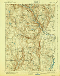
1895 Map of Granville
USGS Topo · Published 1939About this map
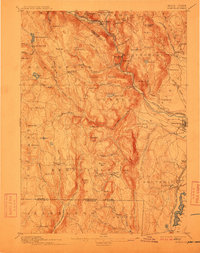
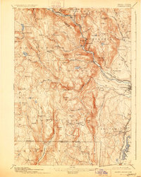
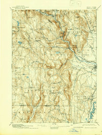
Blandford and Granville anchor this late 19th-century survey of the upland country along the Massachusetts Connecticut Boundary Line. The landscape is defined by its deep river valleys and the industrial influence of the Boston and Albany Railroad, which follows the winding course of the Westfield River through the heart of the Berkshires foothills. Notable local centers like Russell and Montgomery sit perched above the rugged drainage basins of Shatterack Brook and Bear den Brook.
Find a feature on this map
94 named features on this map. Tap any name to fly to it.
Don’t see what you’re looking for? This feature index may not catch every label — zoom into the map to look around manually.
Map Details
Editions of this 1895 Granville Map
8 editions found

Other maps of this area

1885 · Northampton
USGS Topo · 1:62,500

1886 · Springfield
USGS Topo · 1:62,500

1886 · Chesterfield
USGS Topo · 1:62,500

1886 · Northampton
USGS Topo · 1:62,500

1886 · Becket
USGS Topo · 1:62,500

1887 · Granville
USGS Topo · 1:62,500

1888 · Becket
USGS Topo · 1:62,500

1888 · Sandisfield
USGS Topo · 1:62,500

1888 · Chesterfield
USGS Topo · 1:62,500

1889 · Springfield
USGS Topo · 1:62,500