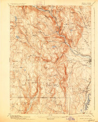
1895 Map of Granville
USGS Topo · Published 1928About this map
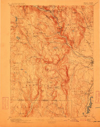
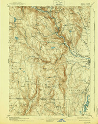
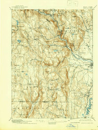
The Westfield River and its various branches dominate this late nineteenth-century survey, cutting deep valleys through the uplands of Hampden County. The industrial and transit corridor follows the West Branch of Westfield River through Huntington, where the Boston and Albany Railroad snakes along the riverbanks past steep features like Turtle Bend Mt. and Mt. Shatterack. In the southern reaches, the landscape shifts toward the high agricultural plateaus and smaller hamlets of Granville and East Granville, while the New York New Haven and Hartford R.R. skirts the eastern edge through Southwick. Local industry is hinted at by features such as Powder Mill Brook and Ore Hill, and the presence of the Punch Bowl and Shatterack Pond reflect the diverse natural topography that defined this section of the Massachusetts-Connecticut borderlands before modern development.
Find a feature on this map
94 named features on this map. Tap any name to fly to it.
Don’t see what you’re looking for? This feature index may not catch every label — zoom into the map to look around manually.
Map Details
Editions of this 1895 Granville Map
8 editions found

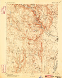
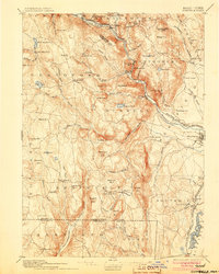
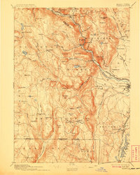
Other maps of this area

1885 · Northampton
USGS Topo · 1:62,500

1886 · Springfield
USGS Topo · 1:62,500

1886 · Chesterfield
USGS Topo · 1:62,500

1886 · Northampton
USGS Topo · 1:62,500

1886 · Becket
USGS Topo · 1:62,500

1887 · Granville
USGS Topo · 1:62,500

1888 · Becket
USGS Topo · 1:62,500

1888 · Sandisfield
USGS Topo · 1:62,500

1888 · Chesterfield
USGS Topo · 1:62,500

1889 · Springfield
USGS Topo · 1:62,500