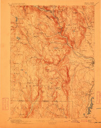
1895 Map of Granville
USGS Topo · Published 1912About this map
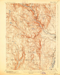
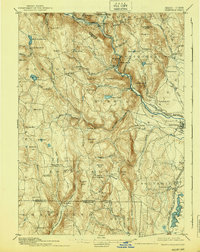
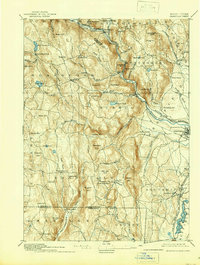
Blandford and Granville serve as central points in this late-19th-century study of the southern Berkshire foothills, where the landscape is defined by deep valleys and the winding courses of the West Branch of Westfield River. The map illustrates a transitional period when rail lines like the Boston and Albany Railroad and the New York New Haven and Hartford R. R. Northampton Div. were vital lifelines for the scattered upland villages. Local industrial and agricultural patterns are suggested by concentrations at Russellville and West Parish, while the rugged southern terrain includes curiously named landmarks such as Bad Luck Mtn. and Sodom Mtn. along the state boundary line. The survey captures the intricate network of brooks, including Borden Brook and Valley Brook, which once powered the small-scale mills and farms characteristic of Hampden County before 20th-century consolidation.
Find a feature on this map
91 named features on this map. Tap any name to fly to it.
Don’t see what you’re looking for? This feature index may not catch every label — zoom into the map to look around manually.
Map Details
Editions of this 1895 Granville Map
8 editions found

Other maps of this area

1885 · Northampton
USGS Topo · 1:62,500

1886 · Springfield
USGS Topo · 1:62,500

1886 · Chesterfield
USGS Topo · 1:62,500

1886 · Northampton
USGS Topo · 1:62,500

1886 · Becket
USGS Topo · 1:62,500

1887 · Granville
USGS Topo · 1:62,500

1888 · Becket
USGS Topo · 1:62,500

1888 · Sandisfield
USGS Topo · 1:62,500

1888 · Chesterfield
USGS Topo · 1:62,500

1889 · Springfield
USGS Topo · 1:62,500