
1895 Map of Granville
USGS Topo · Published 1895About this map
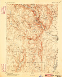
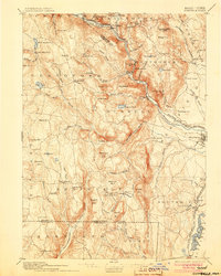
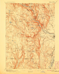
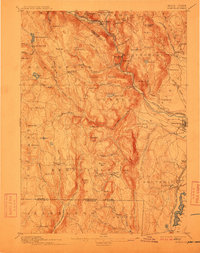
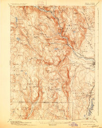
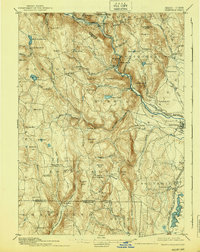
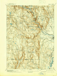
Blandford and Granville anchor this late nineteenth-century topographic study of the Massachusetts-Connecticut borderlands. The landscape is defined by the steep cuts of the West Branch of Westfield River and the Westfield Little River, where industrial transit corridors like the Boston and Albany Railroad navigate the narrow valley floors. Settled life is concentrated in hilltop hamlets and valley junctions such as North Blandford and East Granville, while the highlands are marked by features like Cobble Mtn. and the family-named Winchell Mtn.
Find a feature on this map
95 named features on this map. Tap any name to fly to it.
Don’t see what you’re looking for? This feature index may not catch every label — zoom into the map to look around manually.
Map Details
Editions of this 1895 Granville Map
8 editions found
Other maps of this area

1885 · Northampton
USGS Topo · 1:62,500

1886 · Springfield
USGS Topo · 1:62,500

1886 · Chesterfield
USGS Topo · 1:62,500

1886 · Northampton
USGS Topo · 1:62,500

1886 · Becket
USGS Topo · 1:62,500

1887 · Granville
USGS Topo · 1:62,500

1888 · Becket
USGS Topo · 1:62,500

1888 · Sandisfield
USGS Topo · 1:62,500

1888 · Chesterfield
USGS Topo · 1:62,500

1889 · Springfield
USGS Topo · 1:62,500