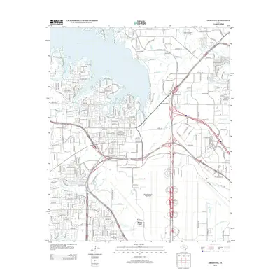
2012 Map of Grapevine
USGS Topo · Published 2012About this map
The waters of Grapevine Lake and the intricate drainage of Denton Creek define the northern landscape of this region, which serves as a critical junction for North Texas transit and history. The map highlights the preservation of the area's early character through the Grapevine Original Town Residential Historic District and the Grapevine Original Commercial Historic District, providing a clear look at the core of the community before the massive expansion of the modern era. To the south, the vast footprint of the Dallas/Fort Worth International Airport dominates the terrain, illustrating the dramatic shift from the rural roots found at Minters Chapel and the Parker Memorial Cem to a global transportation hub. The convergence of commercial centers like Grapevine Mills and educational institutions such as Devry University-Texas reflects the rapid suburban development and industrial growth characteristic of the early 21st century.
Find a feature on this map
135 named features on this map. Tap any name to fly to it.
Don’t see what you’re looking for? This feature index may not catch every label — zoom into the map to look around manually.
Map Details
Editions of this 2012 Grapevine Map
This is the sole edition of this map. No revisions or reprints were ever made.
Other maps of this area

1891 · Dallas
USGS Topo · 1:125,000

1893 · Dallas
USGS Topo · 1:125,000

1894 · Fort Worth
USGS Topo · 1:125,000

1925 · Mc Kinney 3-c
USGS Topo · 1:48,000

1925 · Dallas 2-b
USGS Topo · 1:48,000

1929 · Frisco
USGS Topo · 1:62,500

1931 · Carrollton
USGS Topo · 1:62,500

1931 · Grapevine
USGS Topo · 1:62,500

1954 · Dallas
USGS Topo · 1:250,000

1954 · Sherman
USGS Topo · 1:250,000