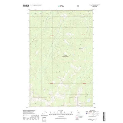
2020 Map of Grass Mountain
USGS Topo · Published 2020About this map
Kaniksu National Forest defines this high-elevation landscape in Boundary County, where steep drainages and mountain summits dominate the topography. The area is characterized by a network of seasonal water sources and distinct peaks, including Grass Mtn and Blue Joe Mtn, which serve as the headwaters for numerous creeks. A series of small mountain basins hold secluded water bodies such as Marsh Lake, Search Lake, and the aptly named Hidden Lake near the southeastern corner.
Find a feature on this map
35 named features on this map. Tap any name to fly to it.
Don’t see what you’re looking for? This feature index may not catch every label — zoom into the map to look around manually.
Map Details
Editions of this 2020 Grass Mountain Map
This is the sole edition of this map. No revisions or reprints were ever made.
Other maps of this area

1911 · Priest Lake
USGS Topo · 1:250,000

1913 · Priest Lake
USGS Topo · 1:250,000

1958 · Sandpoint
USGS Topo · 1:250,000

1963 · Sandpoint
USGS Topo · 1:250,000
1968 · Continental Mtn
USGS Topo · 1:24,000

1969 · Grass Mountain
USGS Topo · 1:24,000
1969 · Caribou Creek
USGS Topo · 1:24,000
1969 · Upper Priest Lake
USGS Topo · 1:24,000
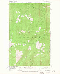
1969 · Shorty Peak
USGS Topo · 1:24,000
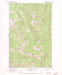
1969 · Smith Peak
USGS Topo · 1:24,000