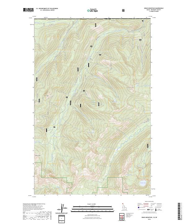
2024 Map of Grass Mountain
USGS Topo · Published 2024About this map
Kaniksu National Forest defines the high-elevation landscape of this 2024 survey in northern Idaho. The terrain is characterized by a series of prominent summits, including Trapper Peak, Joe Peak, and Grass Mtn, which serve as the headwaters for numerous drainage systems. These peaks overlook a network of alpine waters such as Saddle Lake, Marsh Lake, and the sequestered Hidden Lake. The map reveals a land managed for both conservation and access, where primitive routes like Bog Creek Rd and the Red Top Trl navigate the steep slopes. Creeks such as Blue Joe Creek and Search Creek flow through deeply incised valleys, illustrating the complex hydrological patterns that have shaped this portion of Boundary Co. This modern topographic study provides an exact record of current forest boundaries and the preserved wild character of the Selkirk Mountains region.
Find a feature on this map
39 named features on this map. Tap any name to fly to it.
Don’t see what you’re looking for? This feature index may not catch every label — zoom into the map to look around manually.
Map Details
Editions of this 2024 Grass Mountain Map
This is the sole edition of this map. No revisions or reprints were ever made.
Other maps of this area

1911 · Priest Lake
USGS Topo · 1:250,000

1913 · Priest Lake
USGS Topo · 1:250,000

1958 · Sandpoint
USGS Topo · 1:250,000

1963 · Sandpoint
USGS Topo · 1:250,000
1968 · Continental Mtn
USGS Topo · 1:24,000

1969 · Grass Mountain
USGS Topo · 1:24,000
1969 · Caribou Creek
USGS Topo · 1:24,000
1969 · Upper Priest Lake
USGS Topo · 1:24,000
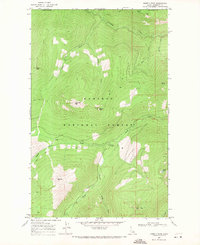
1969 · Shorty Peak
USGS Topo · 1:24,000
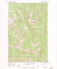
1969 · Smith Peak
USGS Topo · 1:24,000