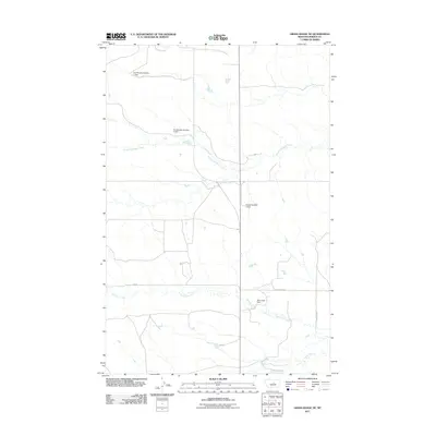
2011 Map of Grass Range NE
USGS Topo · Published 2011About this map
Water management and grazing land define this central Montana landscape, where small-scale ranching infrastructure is mapped in detail. Named water storage projects such as Eva Murphy Number 1 Dam and Eva Murphy Number 4 Dam suggest a reliance on seasonal runoff to support livestock and agricultural operations in an arid environment. The terrain is drained by several watercourses, including the South Fork Bear Creek in the north and Brickyard Creek to the south. Local transit is facilitated by a grid of rural routes like Blakeslee Rd and the curiously named Baby Food Dam. These features illustrate the practical human engineering required to sustain rural life in Fergus County, showing how natural drainage and man-made reservoirs interact across the prairie.
Find a feature on this map
10 named features on this map. Tap any name to fly to it.
Don’t see what you’re looking for? This feature index may not catch every label — zoom into the map to look around manually.
Map Details
Editions of this 2011 Grass Range NE Map
This is the sole edition of this map. No revisions or reprints were ever made.
Other maps of this area

1954 · Lewistown
USGS Topo · 1:250,000

1959 · Lewistown
USGS Topo · 1:250,000

1985 · Roy
USGS Topo · 1:24,000
1985 · Bear Creek Reservoir
USGS Topo · 1:24,000
1985 · Bohemian Corners
USGS Topo · 1:24,000

1986 · Briggs Coulee
USGS Topo · 1:24,000
1986 · Grass Range
USGS Topo · 1:24,000
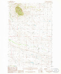
1986 · Grass Range NW
USGS Topo · 1:24,000

1986 · Teigen NW
USGS Topo · 1:24,000
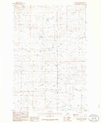
1986 · Grass Range NE
USGS Topo · 1:24,000