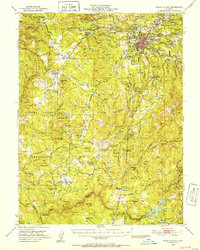
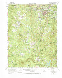
1949 Map of Grass Valley
USGS Topo · Published 1953About this map
Grass Valley serves as the industrial and social hub of this gold-bearing region during the mid-twentieth century, surrounded by a dense network of significant mining operations. The landscape is marked by historic extraction sites including the Empire Mine, Idaho Maryland Mine, and the North Star Mine, highlighting the area's deep-rooted lode mining heritage. To the west, the historic settlement of Rough and Ready stands near the edge of the Camp Beale Military Reservation, which occupies a large portion of the southwestern terrain. The map captures the transition from heavy industry to rural community life, documented by family-named landmarks like Casey Corner and Higgins Corner, alongside social institutions such as the Banner Grange. Water management for both mining and agriculture is evident in the course of the Bear River and the presence of the Van Giesen Dam creating Lake Combie.
Find a feature on this map
91 named features on this map. Tap any name to fly to it.
Don’t see what you’re looking for? This feature index may not catch every label — zoom into the map to look around manually.
Map Details
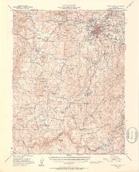
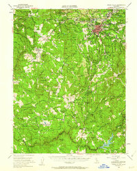
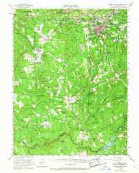
Editions of this 1949 Grass Valley Map
5 editions found
Other maps of this area

1888 · Smartsville
USGS Topo · 1:125,000

1891 · Sacramento
USGS Topo · 1:125,000

1891 · Colfax
USGS Topo · 1:125,000

1891 · Smartsville
USGS Topo · 1:125,000

1891 · Placerville
USGS Topo · 1:125,000

1892 · Sacramento
USGS Topo · 1:125,000

1892 · Placerville
USGS Topo · 1:125,000

1892 · Smartsville
USGS Topo · 1:125,000

1892 · Colfax
USGS Topo · 1:125,000

1893 · Placerville
USGS Topo · 1:125,000