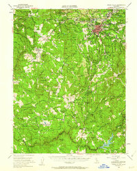
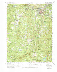
1949 Map of Grass Valley
USGS Topo · Published 1962About this map
Grass Valley serves as the industrial and population hub of this Nevada County region, surrounded by a dense network of gold mining operations that shaped the local landscape. The map captures the specialized infrastructure of the Mother Lode, from major workings like the Empire Mine and Pennsylvania Mine to the labyrinth of ditches and ravines used for water management. While the city grew around centers like Hills Flat and Spring Hill, the outlying areas remained dotted with independent settlements such as Rough and Ready and Cedar Ridge. To the south and west, the terrain transitions into the sprawling Camp Beale Military Reservation, contrasting the urban density of the mining district with vast restricted lands. The presence of several schools, including Indian Springs Sch and Forest Springs Sch, alongside the Elm Ridge Cem, provides vital points of interest for genealogists tracing 1940s family residences and local community structures.
Find a feature on this map
95 named features on this map. Tap any name to fly to it.
Don’t see what you’re looking for? This feature index may not catch every label — zoom into the map to look around manually.
Map Details
Editions of this 1949 Grass Valley Map
5 editions found
Other maps of this area

1888 · Smartsville
USGS Topo · 1:125,000

1891 · Sacramento
USGS Topo · 1:125,000

1891 · Colfax
USGS Topo · 1:125,000

1891 · Smartsville
USGS Topo · 1:125,000

1891 · Placerville
USGS Topo · 1:125,000

1892 · Sacramento
USGS Topo · 1:125,000

1892 · Placerville
USGS Topo · 1:125,000

1892 · Smartsville
USGS Topo · 1:125,000

1892 · Colfax
USGS Topo · 1:125,000

1893 · Placerville
USGS Topo · 1:125,000