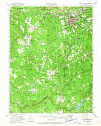
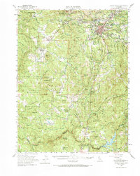
1949 Map of Grass Valley
USGS Topo · Published 1968About this map
Gold mining operations dominate the high ridges of Grass Valley and its surrounding hills during this 1949 survey. Extensive subterranean workings are represented by legendary names like the Empire Mine, North Star Mine, and Idaho-Maryland Mine, illustrating a landscape deeply defined by the extraction of the Mother Lode. Beyond the industrial core of Hills Flat and Spring Hill, the map reveals the transition toward agricultural and residential life in settlements such as Rough and Ready and Cedar Ridge.
Find a feature on this map
88 named features on this map. Tap any name to fly to it.
Don’t see what you’re looking for? This feature index may not catch every label — zoom into the map to look around manually.
Map Details
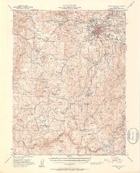
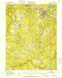
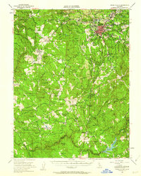
Editions of this 1949 Grass Valley Map
5 editions found
Other maps of this area

1888 · Smartsville
USGS Topo · 1:125,000

1891 · Sacramento
USGS Topo · 1:125,000

1891 · Colfax
USGS Topo · 1:125,000

1891 · Smartsville
USGS Topo · 1:125,000

1891 · Placerville
USGS Topo · 1:125,000

1892 · Sacramento
USGS Topo · 1:125,000

1892 · Placerville
USGS Topo · 1:125,000

1892 · Smartsville
USGS Topo · 1:125,000

1892 · Colfax
USGS Topo · 1:125,000

1893 · Placerville
USGS Topo · 1:125,000