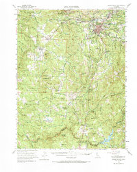
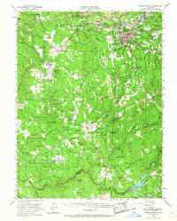
1949 Map of Grass Valley
USGS Topo · Published 1984About this map
Grass Valley and its surrounding gold-mining legacy are captured here just after the post-war era, documenting a landscape shaped by subterranean industry and early California settlement. The map reveals the extensive infrastructure of the Mother Lode, including the Empire Mine, Idaho Maryland Mine, and the North Star Central Shaft, alongside a network of ditches like the Banner Mtn Canal that historically fed these operations. To the west, the Camp Beale Military Reservation occupies a significant portion of the foothills, contrasting with the small agricultural and mining pockets at Rough and Ready and Anthony House. From the Bear River and Combie Lake in the south to the high points of Banner Mtn and Wolf Mtn, the sheet traces the transition from industrial mining centers to rural ranching outposts such as Cranston Ranch and Garden Bar.
Find a feature on this map
81 named features on this map. Tap any name to fly to it.
Don’t see what you’re looking for? This feature index may not catch every label — zoom into the map to look around manually.
Map Details
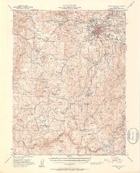
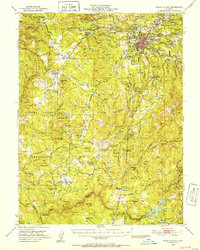
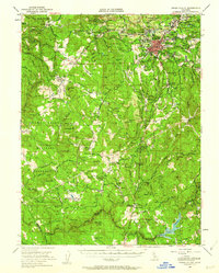
Editions of this 1949 Grass Valley Map
5 editions found
Other maps of this area

1888 · Smartsville
USGS Topo · 1:125,000

1891 · Sacramento
USGS Topo · 1:125,000

1891 · Colfax
USGS Topo · 1:125,000

1891 · Smartsville
USGS Topo · 1:125,000

1891 · Placerville
USGS Topo · 1:125,000

1892 · Sacramento
USGS Topo · 1:125,000

1892 · Placerville
USGS Topo · 1:125,000

1892 · Smartsville
USGS Topo · 1:125,000

1892 · Colfax
USGS Topo · 1:125,000

1893 · Placerville
USGS Topo · 1:125,000