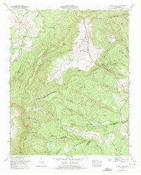
1973 Map of Grassy Cove
USGS Topo · Published 1975About this map
Grassy Cove sits as a prominent karst depression within this 1970s landscape, where drainage patterns are defined by subterranean flow through landmarks like Saltpeter Cave and Windlass Cave. The settlement pattern follows the valley floor, with family history etched into the land at the Brady Cem and Bristow Cem. To the south, the community of Jewett and the nearby Reed Chapel anchor the higher elevations along Walden Ridge, while the industrial footprint of the era is evident in numerous Strip mines dotting the slopes of Brown Mountain. The map illustrates a rural Tennessee economy transitioning from traditional agriculture toward resource extraction, evidenced by the presence of a Quarry and the Sutton Ford Dam on Daddys Creek. Higher peaks like Hinch Mtn, equipped with a Radio range station, overlook a complex network of hollows and gaps that historically dictated travel and settlement.
Find a feature on this map
87 named features on this map. Tap any name to fly to it.
Don’t see what you’re looking for? This feature index may not catch every label — zoom into the map to look around manually.
Map Details
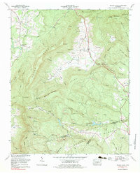
Editions of this 1973 Grassy Cove Map
2 editions found
Other maps of this area

1887 · Kingston
USGS Topo · 1:125,000

1891 · Kingston
USGS Topo · 1:125,000

1892 · Pikeville
USGS Topo · 1:125,000

1893 · Kingston
USGS Topo · 1:125,000

1895 · Pikeville
USGS Topo · 1:125,000

1909 · Sequatchie Valley
USGS Topo · 1:62,500

1910 · Pikeville
USGS Topo · 1:62,500

1912 · Crossville
USGS Topo · 1:62,500

1935 · Melvine
USGS Topo · 1:24,000

1935 · Pennine
USGS Topo · 1:24,000