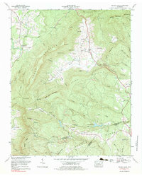
1973 Map of Grassy Cove
USGS Topo · Published 1983About this map
Grassy Cove dominates this portion of the Cumberland Plateau, forming a unique karst basin where drainage disappears into underground caverns. The 1970s landscape is defined by the steep walls of Brady Mountain and Brown Mountain, which encircle the cove and direct the flow of Grassy Cove Creek toward subterranean sinks. Evidence of the region's complex geology is visible in the numerous named caves, including Saltpeter Cave, Milksick Cave, and Mill Cave.
Find a feature on this map
85 named features on this map. Tap any name to fly to it.
Don’t see what you’re looking for? This feature index may not catch every label — zoom into the map to look around manually.
Map Details
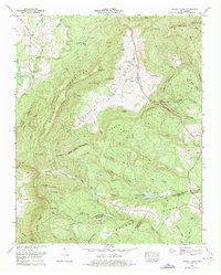
Editions of this 1973 Grassy Cove Map
2 editions found
Other maps of this area

1887 · Kingston
USGS Topo · 1:125,000

1891 · Kingston
USGS Topo · 1:125,000

1892 · Pikeville
USGS Topo · 1:125,000

1893 · Kingston
USGS Topo · 1:125,000

1895 · Pikeville
USGS Topo · 1:125,000

1909 · Sequatchie Valley
USGS Topo · 1:62,500

1910 · Pikeville
USGS Topo · 1:62,500

1912 · Crossville
USGS Topo · 1:62,500

1935 · Melvine
USGS Topo · 1:24,000

1935 · Pennine
USGS Topo · 1:24,000