
1956 Map of Grassy Lake Reservoir
USGS Topo · Published 1959About this map
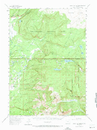
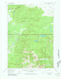
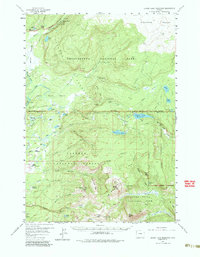
The Bechler River and its numerous cascades define this mid-century look at the convergence of three major protected wilderness areas. Surveyed in the mid-1950s, the map reveals a landscape where the Yellowstone National Park boundary meets the Targhee National Forest and Grand Teton National Park. The central focus is the high-altitude Grassy Lake Reservoir, a key piece of water infrastructure situated between the Pitchstone Plateau and the headwaters of several critical creek systems. Settlement is sparse, limited to points like Porter Ranch and isolated ranger stations or cabins. The intricate network of backcountry paths, such as the Bechler River Trail and Union Falls Trail, highlights the area's importance for early forest management and remote accessibility. High peaks including Hominy Peak and Forellen Peak provide the primary navigational landmarks for this high-country terrain.
Find a feature on this map
67 named features on this map. Tap any name to fly to it.
Don’t see what you’re looking for? This feature index may not catch every label — zoom into the map to look around manually.
Map Details
Editions of this 1956 Grassy Lake Reservoir Map
4 editions found
Other maps of this area

1886 · Shoshone
USGS Topo · 1:125,000

1888 · Shoshone
USGS Topo · 1:125,000

1895 · Shoshone
USGS Topo · 1:125,000

1899 · Grand Teton
USGS Topo · 1:125,000

1901 · Shoshone
USGS Topo · 1:125,000

1901 · Grand Teton
USGS Topo · 1:125,000

1908 · Shoshone
USGS Topo · 1:125,000

1911 · Shoshone
USGS Topo · 1:125,000

1955 · Ashton
USGS Topo · 1:250,000

1955 · Driggs
USGS Topo · 1:250,000