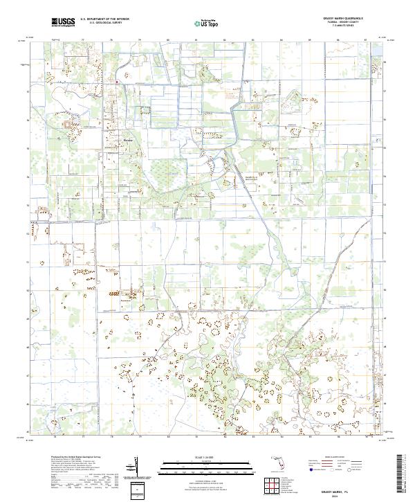
2024 Map of Grassy Marsh
USGS Topo · Published 2024About this map
The settlement of Pioneer sits at the heart of this Florida interior landscape, characterized by a transition from organized agricultural plots to the expansive wetlands of the Everglades basin. The northern half of the region is defined by a dense grid of residential and agricultural roads, including Arcadia Rd and Hendry Isles Blvd, which service small-scale holdings and citrus groves. Central to this activity is the Harpers Fly-In Ranch Airport, a private aviation landmark typical of the rural development patterns in Hendry County. To the south, the landscape shifts toward its natural state as the road network thins and gives way to water-dominant features. The namesake Grassy Marsh and the wandering course of Collins Slough demonstrate the hydrologic character of the territory, where drainage and water management remain central to land use and local geography.
Find a feature on this map
60 named features on this map. Tap any name to fly to it.
Don’t see what you’re looking for? This feature index may not catch every label — zoom into the map to look around manually.
Map Details
Editions of this 2024 Grassy Marsh Map
This is the sole edition of this map. No revisions or reprints were ever made.
Other maps of this area

1956 · West Palm Beach
USGS Topo · 1:250,000

1957 · West Palm Beach
USGS Topo · 1:250,000

1958 · West Palm Beach
USGS Topo · 1:250,000

1958 · Felda SE
USGS Topo · 1:24,000

1958 · Goodno
USGS Topo · 1:24,000

1958 · Felda NE
USGS Topo · 1:24,000

1970 · Moore Haven
USGS Topo · 1:24,000

1970 · La Belle 4 SE
USGS Topo · 1:24,000

1970 · La Belle 4 NW
USGS Topo · 1:24,000

1970 · La Belle 4 NE
USGS Topo · 1:24,000