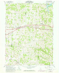
1962 Map of Gratiot
USGS Topo · Published 1973About this map
Flint Ridge dominates the northern landscape of this Licking and Muskingum County borderland, where the terrain transitions from upland ridges to the watercourses of Poverty Run and Jonathan Creek. The village of Gratiot sits centrally along the old National Road corridor, flanked by the North Bdy Refugee Lands and Base Line surveying markers that reflect early Ohio land partitions.
Find a feature on this map
36 named features on this map. Tap any name to fly to it.
Don’t see what you’re looking for? This feature index may not catch every label — zoom into the map to look around manually.
Map Details
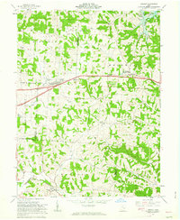
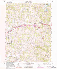
Editions of this 1962 Gratiot Map
3 editions found
Other maps of this area

1909 · Newark
USGS Topo · 1:62,500

1909 · Thornville
USGS Topo · 1:62,500

1910 · Frazeysburg
USGS Topo · 1:62,500

1910 · Zanesville
USGS Topo · 1:62,500

1947 · Columbus
USGS Topo · 1:250,000

1950 · Marion
USGS Topo · 1:250,000

1961 · Columbus
USGS Topo · 1:250,000

1961 · Hanover
USGS Topo · 1:24,000

1961 · Zanesville West
USGS Topo · 1:24,000
1961 · Fultonham
USGS Topo · 1:24,000