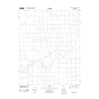
2012 Map of Gravelly Ford
USGS Topo · Published 2012About this map
The Clear Lake shoreline dominates this 1951 survey of Cerro Gordo and Hancock Counties, revealing a developed lakeside community supported by a robust mid-century transportation network. Three major rail lines, including the Chicago Milwaukee St Paul and Pacific and the Chicago and North Western railroads, converge near the water, while the Mason City & Clear Lake Railroad connects the local hubs.
Find a feature on this map
42 named features on this map. Tap any name to fly to it.
Don’t see what you’re looking for? This feature index may not catch every label — zoom into the map to look around manually.
Map Details
Editions of this 2012 Gravelly Ford Map
This is the sole edition of this map. No revisions or reprints were ever made.
Other maps of this area

1920 · Bonita Ranch
USGS Topo · 1:31,680

1921 · Mendota
USGS Topo · 1:31,680

1921 · Bonita Ranch
USGS Topo · 1:31,680

1922 · Kentucky Well
USGS Topo · 1:31,680

1922 · Madera
USGS Topo · 1:31,680

1923 · Biola
USGS Topo · 1:31,680

1924 · Jamesan
USGS Topo · 1:31,680

1924 · Tranquillity
USGS Topo · 1:31,680

1924 · Gravelly Ford
USGS Topo · 1:31,680

1924 · Mendota
USGS Topo · 1:31,680