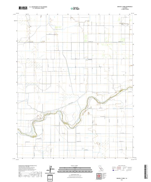
2021 Map of Gravelly Ford
USGS Topo · Published 2021About this map
The San Joaquin River winds through the heart of the San Joaquin Valley in this detailed survey of the boundary between Madera and Fresno counties. The landscape is defined by the highly organized grid of the Central Valley agricultural engine, where water management is paramount. Prominent irrigation infrastructure, including the Gravelly Ford Canal, Herndon Canal, and Sandridge Canal, illustrates the complex engineering required to sustain the region's vast farmsteads. The map documents a dense network of rural roads such as Ripperdan Ave and Gravelly Ford Dr that serve the local townships and ranch lands. This modern record captures the continuing importance of the river's historic crossing points and the evolved water rights that dictate the character of the surrounding terrain.
Find a feature on this map
49 named features on this map. Tap any name to fly to it.
Don’t see what you’re looking for? This feature index may not catch every label — zoom into the map to look around manually.
Map Details
Editions of this 2021 Gravelly Ford Map
This is the sole edition of this map. No revisions or reprints were ever made.
Other maps of this area

1920 · Bonita Ranch
USGS Topo · 1:31,680

1921 · Mendota
USGS Topo · 1:31,680

1921 · Bonita Ranch
USGS Topo · 1:31,680

1922 · Kentucky Well
USGS Topo · 1:31,680

1922 · Madera
USGS Topo · 1:31,680

1923 · Biola
USGS Topo · 1:31,680

1924 · Jamesan
USGS Topo · 1:31,680

1924 · Tranquillity
USGS Topo · 1:31,680

1924 · Gravelly Ford
USGS Topo · 1:31,680

1924 · Mendota
USGS Topo · 1:31,680