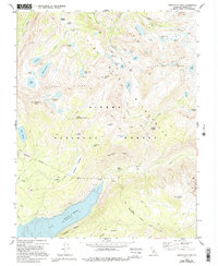
1982 Map of Graveyard Peak
USGS Topo · Published 1994About this map
Graveyard Peak stands as a central landmark in this high-altitude survey of the Sierra National Forest, where the complex drainage systems of Fish Creek and Minnow Creek carve through the Silver Divide. The landscape is characterized by a high concentration of glacial tarns, including the uniquely named Lake of the Lone Indian, Peter Pande Lake, and the cluster of Graveyard Lakes. This area serves as a critical junction for high-country travel, featuring the John Muir Trail as it crosses Silver Pass. Notable evidence of early resource exploration remains at the Pick and Shovel Mine near Jackson Meadow, contrasting with the surrounding John Muir Wilderness. The topography transitions from the dramatic Vermilion Cliffs down toward the northern reaches of Lake Thomas A. Edison, showing the rugged intersection of massive granite peaks and the delicate meadow systems of the High Sierra.
Find a feature on this map
57 named features on this map. Tap any name to fly to it.
Don’t see what you’re looking for? This feature index may not catch every label — zoom into the map to look around manually.
Map Details
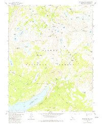
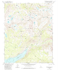
Editions of this 1982 Graveyard Peak Map
3 editions found
Other maps of this area

1901 · Mt. Lyell
USGS Topo · 1:125,000

1904 · Kaiser
USGS Topo · 1:125,000

1912 · Mt. Goddard
USGS Topo · 1:125,000

1914 · Mt. Morrison
USGS Topo · 1:125,000

1947 · Mariposa
USGS Topo · 1:250,000

1948 · Mariposa
USGS Topo · 1:250,000

1953 · Mt. Morrison
USGS Topo · 1:62,500

1953 · Mt Abbot
USGS Topo · 1:62,500

1953 · Devils Postpile
USGS Topo · 1:62,500

1953 · Kaiser Peak
USGS Topo · 1:62,500