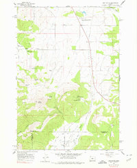
1962 Map of Gray Butte
USGS Topo · Published 1977About this map
Gray Butte serves as the dominant landmark of this central Oregon landscape, a region defined by high-desert hydrology and federal land management. In the early 1960s, the Crooked River National Grassland was established here, with this map documenting the Crooked River National Grassland Field Headquarters and a network of springs essential for ranching and wildlife, including Rodman Spring, Lithgow Spring, and Kings Gap Spring.
Find a feature on this map
35 named features on this map. Tap any name to fly to it.
Don’t see what you’re looking for? This feature index may not catch every label — zoom into the map to look around manually.
Map Details
Editions of this 1962 Gray Butte Map
2 editions found
Other maps of this area

1926 · Bend
USGS Topo · 1:125,000

1928 · Madras
USGS Topo · 1:125,000

1929 · Bend
USGS Topo · 1:125,000

1931 · Madras
USGS Topo · 1:125,000

1955 · Bend
USGS Topo · 1:250,000

1957 · Bend
USGS Topo · 1:250,000

1958 · Bend
USGS Topo · 1:250,000

1961 · Redmond
USGS Topo · 1:24,000

1962 · Opal City
USGS Topo · 1:24,000

1962 · Oneil
USGS Topo · 1:24,000