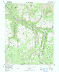
1953 Map of Gray Head
USGS Topo · Published 1974About this map
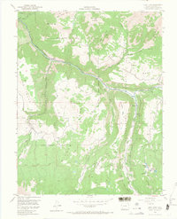
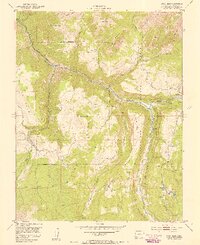
Industrial activity along the San Miguel River characterizes this high-altitude landscape during the early 1950s. The settlement of Vanadium and the Vance Junction rail point serve as focal points for the region's historical mining economy, including the Belle Champion Mine. The terrain is marked by expansive plateaus like Sunshine Mesa, Deep Creek Mesa, and Wilson Mesa, which are dissected by steep drainages including Summit Creek and Bilk Creek.
Find a feature on this map
38 named features on this map. Tap any name to fly to it.
Don’t see what you’re looking for? This feature index may not catch every label — zoom into the map to look around manually.
Map Details
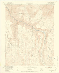
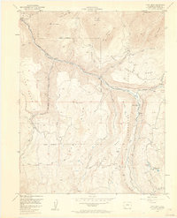
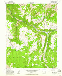
Editions of this 1953 Gray Head Map
6 editions found
Other maps of this area

1897 · Telluride
USGS Topo · 1:62,500

1904 · Telluride
USGS Topo · 1:62,500

1909 · Montrose
USGS Topo · 1:125,000

1911 · Montrose
USGS Topo · 1:125,000

1945 · Durango
USGS Topo · 1:250,000

1953 · Mount Wilson
USGS Topo · 1:24,000

1953 · Dolores Peak
USGS Topo · 1:24,000

1953 · Placerville
USGS Topo · 1:24,000
1953 · Gray Head
USGS Topo · 1:24,000

1953 · Little Cone
USGS Topo · 1:24,000