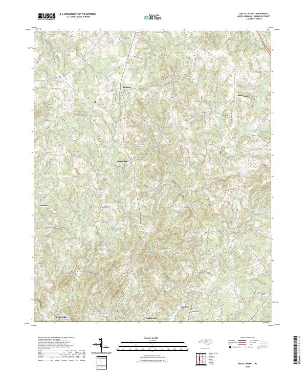
2022 Map of Grays Chapel
USGS Topo · Published 2022About this map
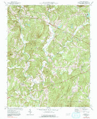
Grays Chapel anchors this portion of Randolph County, where the Piedmont landscape is defined by the winding course of Bush Cr and the larger Sandy Creek. The map documents a predominantly rural region shaped by legacy landholdings and small crossroads settlements such as Linberry and Melanchton. The southern edge of the sheet transitions toward more established river towns, capturing the outskirts of Ramseur and Franklinville along the Deep River.
Find a feature on this map
98 named features on this map. Tap any name to fly to it.
Don’t see what you’re looking for? This feature index may not catch every label — zoom into the map to look around manually.
Map Details
Editions of this 2022 Grays Chapel Map
This is the sole edition of this map. No revisions or reprints were ever made.
Historical Maps of Millboro Through Time
15 maps found
1968 Coleridge
Randolph County, NC
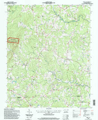
1968 Erect
Randolph County, NC
1970 Glenola
Randolph County, NC
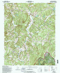
1973 Eleazer
Randolph County, NC
1974 Farmer
Randolph County, NC
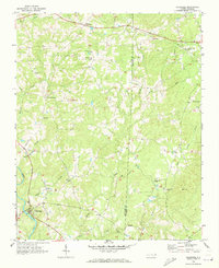
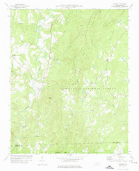
1974 Grays Chapel
Randolph County, NC
1994 Eleazer
Randolph County, NC
1994 Erect
Randolph County, NC
1994 Farmer
Randolph County, NC
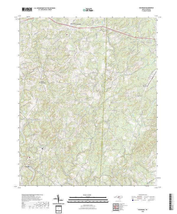
2022 Coleridge
Randolph County, NC
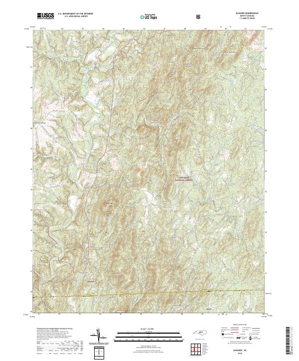
2022 Eleazer
Randolph County, NC
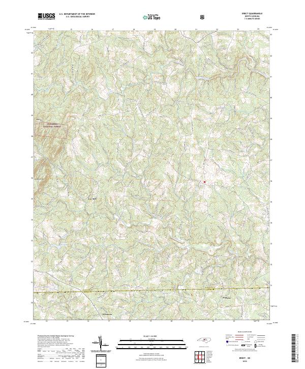
2022 Erect
Randolph County, NC
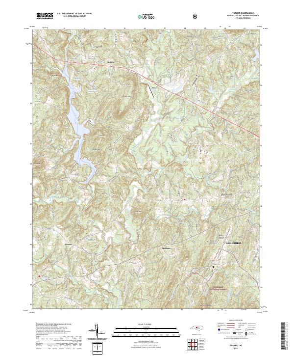
2022 Farmer
Randolph County, NC
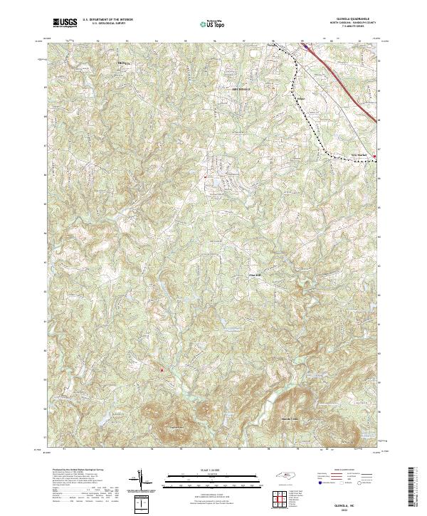
2022 Glenola
Randolph County, NC
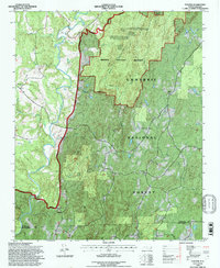
2022 Grays Chapel
Randolph County, NC