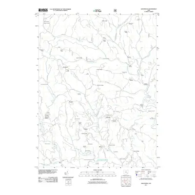
2011 Map of Graysville
USGS Topo · Published 2011About this map
Graysville and its surrounding ridge-top communities are documented here within the complex drainage network of the Clear Fork Little Muskingum River. This landscape is defined by its deep hollows and narrow ridges, where small settlements like Hartshorn, Sprague, and Sycamore Valley sit along winding routes such as Edwina Rd and Hartshorn Ridge Rd. The density of family and community burial grounds is notable, with Moose Ridge Cemetery, Barber Cemetery, and Dougherty Cemetery marking the high ground above the many forks and runs.
Find a feature on this map
102 named features on this map. Tap any name to fly to it.
Don’t see what you’re looking for? This feature index may not catch every label — zoom into the map to look around manually.
Map Details
Editions of this 2011 Graysville Map
This is the sole edition of this map. No revisions or reprints were ever made.
Other maps of this area

1903 · Macksburg
USGS Topo · 1:62,500

1905 · New Matamoras
USGS Topo · 1:62,500

1905 · Woodsfield
USGS Topo · 1:62,500

1905 · Macksburg
USGS Topo · 1:62,500

1909 · Summerfield
USGS Topo · 1:62,500

1911 · Summerfield
USGS Topo · 1:62,500

1924 · New Matamoras
USGS Topo · 1:62,500

1926 · New Matamoras
USGS Topo · 1:62,500

1949 · Clarksburg
USGS Topo · 1:250,000

1956 · Clarksburg
USGS Topo · 1:250,000