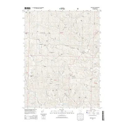
2013 Map of Graysville
USGS Topo · Published 2013About this map
Graysville and the surrounding townships of Monroe County are defined by a deeply dissected plateau where ridges like Conner Ridge and Hartshorn Ridge separate numerous hollows and runs. This landscape, much of it within the Wayne National Forest, shows a settlement pattern typical of Appalachian Ohio, where small communities like Sycamore Valley, Sprague, and Marr are tied to the winding paths of roads like State Rte 26. The map is particularly valuable for genealogical research, documenting numerous family and community burial sites such as Henthorn Cem, Beardmore Cem, and the Graysville Christian Church Cem. The southern portion of the map features the Lamping Homestead Picnic Grounds Pond near the Clear Fork Little Muskingum River, indicating the era's focus on forest management and local recreation.
Find a feature on this map
126 named features on this map. Tap any name to fly to it.
Don’t see what you’re looking for? This feature index may not catch every label — zoom into the map to look around manually.
Map Details
Editions of this 2013 Graysville Map
This is the sole edition of this map. No revisions or reprints were ever made.
Other maps of this area

1903 · Macksburg
USGS Topo · 1:62,500

1905 · New Matamoras
USGS Topo · 1:62,500

1905 · Woodsfield
USGS Topo · 1:62,500

1905 · Macksburg
USGS Topo · 1:62,500

1909 · Summerfield
USGS Topo · 1:62,500

1911 · Summerfield
USGS Topo · 1:62,500

1924 · New Matamoras
USGS Topo · 1:62,500

1926 · New Matamoras
USGS Topo · 1:62,500

1949 · Clarksburg
USGS Topo · 1:250,000

1956 · Clarksburg
USGS Topo · 1:250,000