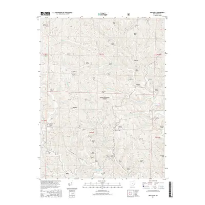
2016 Map of Graysville
USGS Topo · Published 2016About this map
Graysville stands as a focal point of this 2016 survey, where several ridge-top settlements and dispersed farmsteads define the landscape of Monroe County. The map details a complex network of ridges and hollows, notably Hartshorn Ridge and Conner Ridge, which provided the high ground necessary for early road building and cemetery placements. The extensive number of family and community burial grounds, such as Hartshorn Ridge Cem, Sloan Cem, and Knowlton Cem, suggests a deeply rooted genealogical history in this portion of the Wayne National Forest. Drainage patterns are dictated by the Clear Fork Little Muskingum River and its numerous tributaries like Wolfpen Run and Cranenest Fork, which carved out the namesake hollows such as Cronin Hollow and Hall Hollow. This terrain necessitated the winding path of the NCT Marietta N trail and the established routes connecting the small communities of Sprague, Edwina, and Hilltop.
Find a feature on this map
115 named features on this map. Tap any name to fly to it.
Don’t see what you’re looking for? This feature index may not catch every label — zoom into the map to look around manually.
Map Details
Editions of this 2016 Graysville Map
This is the sole edition of this map. No revisions or reprints were ever made.
Other maps of this area
1903 · Macksburg
USGS Topo · 1:62,500
1905 · New Matamoras
USGS Topo · 1:62,500
1905 · Woodsfield
USGS Topo · 1:62,500
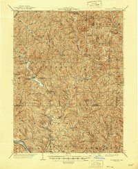
1905 · Macksburg
USGS Topo · 1:62,500
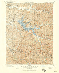
1909 · Summerfield
USGS Topo · 1:62,500
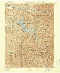
1911 · Summerfield
USGS Topo · 1:62,500
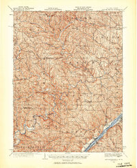
1924 · New Matamoras
USGS Topo · 1:62,500
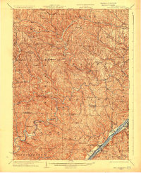
1926 · New Matamoras
USGS Topo · 1:62,500
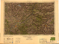
1949 · Clarksburg
USGS Topo · 1:250,000
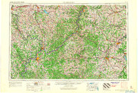
1956 · Clarksburg
USGS Topo · 1:250,000