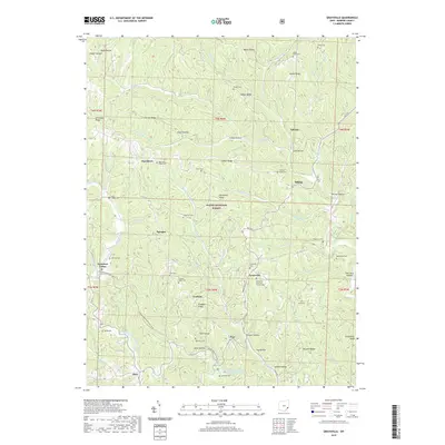
2019 Map of Graysville
USGS Topo · Published 2019About this map
Graysville and the surrounding township in Monroe County are defined by a high-relief landscape of steep ridges and deep hollows within the Wayne National Forest. The settlement pattern follows the narrow summits, where family names are preserved through landmarks like Barber Ridge and Hartshorn Ridge. This terrain necessitated a dense network of country cemeteries to serve scattered hilltop communities, including Knowlton Cem, Moose Ridge Cem, and the Graysville Christian Church Cem.
Find a feature on this map
79 named features on this map. Tap any name to fly to it.
Don’t see what you’re looking for? This feature index may not catch every label — zoom into the map to look around manually.
Map Details
Editions of this 2019 Graysville Map
This is the sole edition of this map. No revisions or reprints were ever made.
Other maps of this area

1903 · Macksburg
USGS Topo · 1:62,500

1905 · New Matamoras
USGS Topo · 1:62,500

1905 · Woodsfield
USGS Topo · 1:62,500

1905 · Macksburg
USGS Topo · 1:62,500

1909 · Summerfield
USGS Topo · 1:62,500

1911 · Summerfield
USGS Topo · 1:62,500

1924 · New Matamoras
USGS Topo · 1:62,500

1926 · New Matamoras
USGS Topo · 1:62,500

1949 · Clarksburg
USGS Topo · 1:250,000

1956 · Clarksburg
USGS Topo · 1:250,000