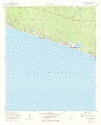
1970 Map of Grayton Beach
USGS Topo · Published 1977About this map
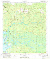
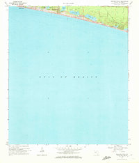
Coastal dune lakes and emerging resort communities define this stretch of the Gulf of Mexico in the early 1970s. The landscape is notable for its rare hydrology, featuring Oyster Lake, Draper Lake, and Western Lake situated behind shifting Sand Dunes. While development is visible in settlements like Santa Rosa Beach and Seagrove Beach, much of the interior remains traversed only by a network of Jeep Trails. Local heritage is anchored at the Santa Rosa Cem, providing a genealogical focal point near the coast.
Find a feature on this map
28 named features on this map. Tap any name to fly to it.
Don’t see what you’re looking for? This feature index may not catch every label — zoom into the map to look around manually.
Map Details
Editions of this 1970 Grayton Beach Map
3 editions found

Other maps of this area

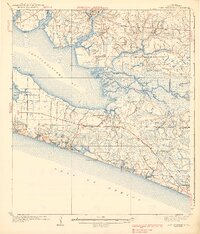
1935 · Villa Tasso
USGS Topo · 1:48,000

1936 · Point Washington
USGS Topo · 1:48,000

1938 · Villa Tasso
USGS Topo · 1:62,500
1939 · Point Washington
USGS Topo · 1:62,500
1956 · Villa Tasso
USGS Topo · 1:62,500

1957 · Pensacola
USGS Topo · 1:250,000

1959 · Pensacola
USGS Topo · 1:250,000

1960 · Pensacola
USGS Topo · 1:250,000
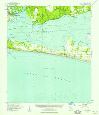
1970 · Bunker
USGS Topo · 1:24,000
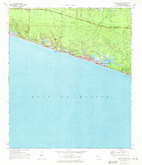
1970 · Miramar Beach
USGS Topo · 1:24,000