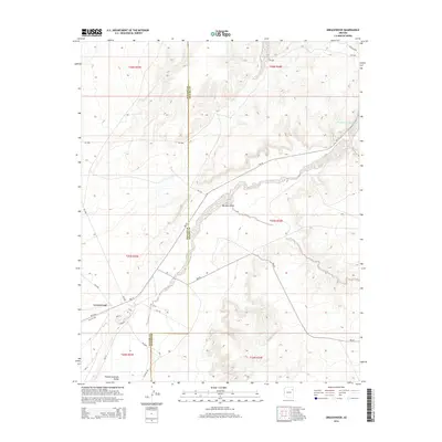
2014 Map of Greasewood
USGS Topo · Published 2014About this map
Greasewood lies at the heart of this high-desert landscape within the Pueblo Colorado Valley, an area defined by its complex network of seasonal drainages and essential transit corridors. The settlement pattern is largely shaped by the winding course of the Pueblo Colorado Wash and the prominent Big Dam Wash, which cut through the arid terrain of the Fort Defiance Agency. Local roads such as Aztec, Navajo, and Laguna converge near the main community, reflecting the importance of localized infrastructure in this portion of the reservation. Notable boundary lines for Navajo and Apache counties bisect the quadrangle, highlighting the administrative divisions that overlay the physical geography. The presence of Gas Line Rd and numerous Bureau of Indian Affairs routes like Bia-15 underscore the region's role as a conduit for utilities and transportation in the early 21st century.
Find a feature on this map
28 named features on this map. Tap any name to fly to it.
Don’t see what you’re looking for? This feature index may not catch every label — zoom into the map to look around manually.
Map Details
Editions of this 2014 Greasewood Map
This is the sole edition of this map. No revisions or reprints were ever made.
Other maps of this area
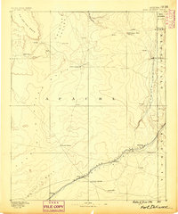
1886 · Fort Defiance
USGS Topo · 1:250,000
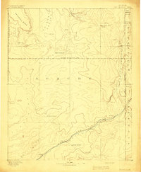
1892 · Fort Defiance
USGS Topo · 1:250,000

1954 · Gallup
USGS Topo · 1:250,000

1958 · Gallup
USGS Topo · 1:250,000

1959 · Gallup
USGS Topo · 1:250,000
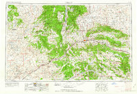
1962 · Gallup
USGS Topo · 1:250,000
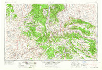
1967 · Gallup
USGS Topo · 1:250,000
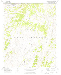
1972 · Steamboat Canyon
USGS Topo · 1:24,000
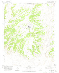
1972 · Toyei School
USGS Topo · 1:24,000
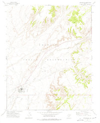
1972 · Greasewood
USGS Topo · 1:24,000