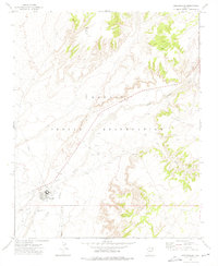
1972 Map of Greasewood
USGS Topo · Published 1975About this map
Greasewood serves as a central hub on the Navajo Indian Reservation during the early 1970s, situated near the county line where Navajo Co Apache Co meet. The settlement is defined by its educational and utility infrastructure, including a prominent Boarding School, a Water Tank, and nearby Sewage Disposal Ponds. The surrounding arid landscape is deeply etched by the seasonal hydrology of the Pueblo Colorado Wash and Big Dam Wash, which dictate the placement of local resources. Numerous instances of a Spring or Well are scattered across the terrain, indicating the vital importance of water access in this desert environment. Small-scale resource extraction is noted at a Quarry to the northeast, while local history is marked by a small Cem located near the main cluster of buildings, providing a detailed look at the community footprint before modern expansion.
Find a feature on this map
13 named features on this map. Tap any name to fly to it.
Don’t see what you’re looking for? This feature index may not catch every label — zoom into the map to look around manually.
Map Details
Editions of this 1972 Greasewood Map
This is the sole edition of this map. No revisions or reprints were ever made.
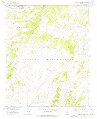
Other maps of this area

1886 · Fort Defiance
USGS Topo · 1:250,000

1892 · Fort Defiance
USGS Topo · 1:250,000

1954 · Gallup
USGS Topo · 1:250,000

1958 · Gallup
USGS Topo · 1:250,000

1959 · Gallup
USGS Topo · 1:250,000

1962 · Gallup
USGS Topo · 1:250,000

1967 · Gallup
USGS Topo · 1:250,000
1972 · Steamboat Canyon
USGS Topo · 1:24,000
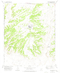
1972 · Toyei School
USGS Topo · 1:24,000
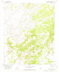
1972 · Boggy Lake Well
USGS Topo · 1:24,000