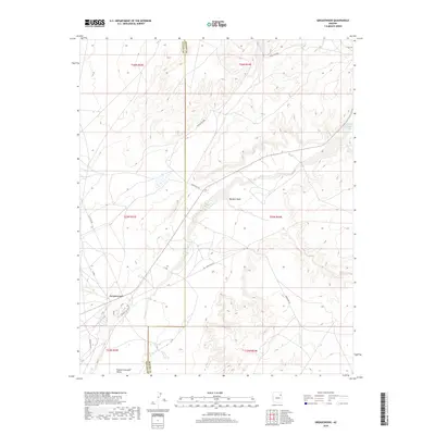
2018 Map of Greasewood
USGS Topo · Published 2018About this map
Greasewood serves as the central hub for this portion of the Navajo Nation, situated at the intersection of several critical travel routes. The landscape is defined by the Pueblo Colorado Valley, through which the Pueblo Colorado Wash flows toward the southeast. This topographical survey highlights a complex network of Indian Routes and local roads, including Indian Rte 152 and Indian Rte 28, which facilitate movement across the arid terrain of the Fort Defiance Agency. Smaller drainage systems like Big Dam Wash carve through the high desert, illustrating the hydraulic patterns essential to understanding local land use. Local naming conventions are evident in residential streets such as Navajo, Laguna, and the Aftec loop, providing a clear view of the settlement's modern footprint within Apache and Navajo Counties.
Find a feature on this map
25 named features on this map. Tap any name to fly to it.
Don’t see what you’re looking for? This feature index may not catch every label — zoom into the map to look around manually.
Map Details
Editions of this 2018 Greasewood Map
This is the sole edition of this map. No revisions or reprints were ever made.
Other maps of this area
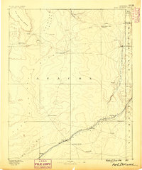
1886 · Fort Defiance
USGS Topo · 1:250,000
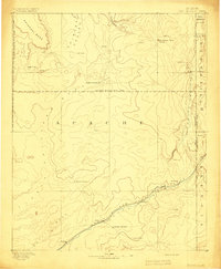
1892 · Fort Defiance
USGS Topo · 1:250,000

1954 · Gallup
USGS Topo · 1:250,000

1958 · Gallup
USGS Topo · 1:250,000

1959 · Gallup
USGS Topo · 1:250,000
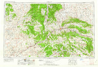
1962 · Gallup
USGS Topo · 1:250,000
1967 · Gallup
USGS Topo · 1:250,000
1972 · Steamboat Canyon
USGS Topo · 1:24,000
1972 · Toyei School
USGS Topo · 1:24,000
1972 · Greasewood
USGS Topo · 1:24,000